


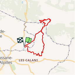


19.2 km | 27 km-effort

User


FREE GPS app for hiking
 SityTrail
IGN / Geographical institutes
SityTrail World
The world is yours!
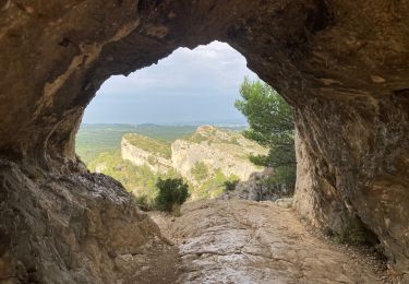
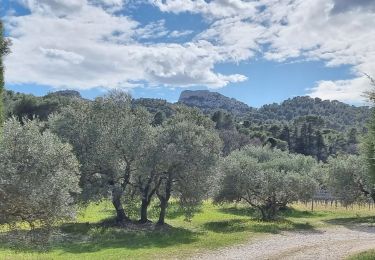
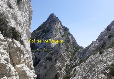
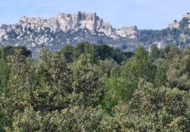
Trail Walking of 18.1 km to be discovered at Provence-Alpes-Côte d'Azur, Bouches-du-Rhône, Les Baux-de-Provence. This trail is proposed by SabetMick.
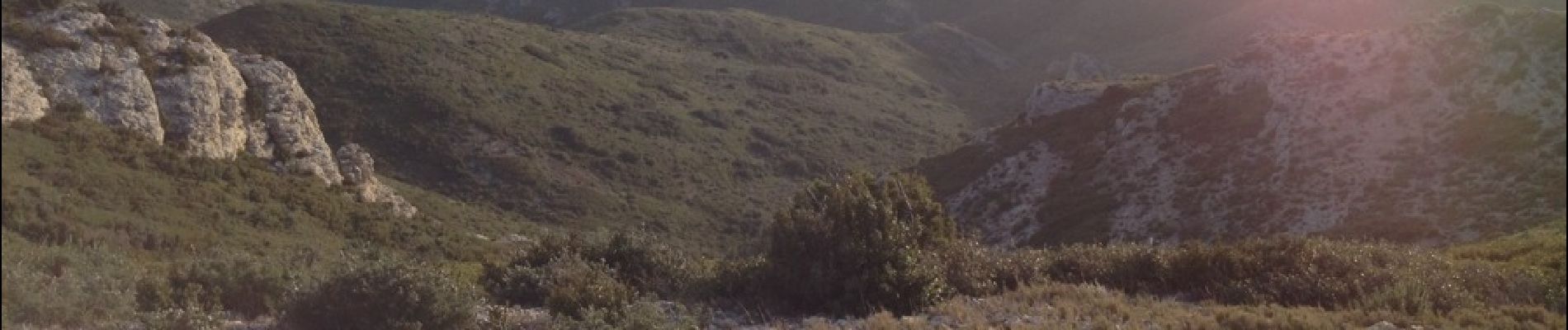
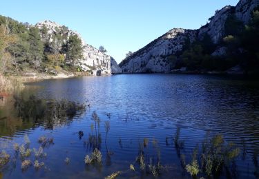
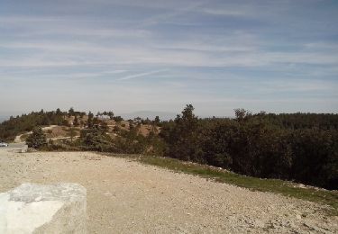
Superbe rando au cœur des alpilles. Végétation rasée et paysages à couper le souffle. Départ sur de grande DFCI, et retour sur des beaux sentier de rando. À faire


23 photos in total. Please click on a photo to see them all in the gallery.
Walking
Walking

Walking
Walking

Walking

Walking
Walking
Walking
Walking